
Why Do These Districts Even Exist?
Geography, Representation, and the Strange Machinery of American Democracy

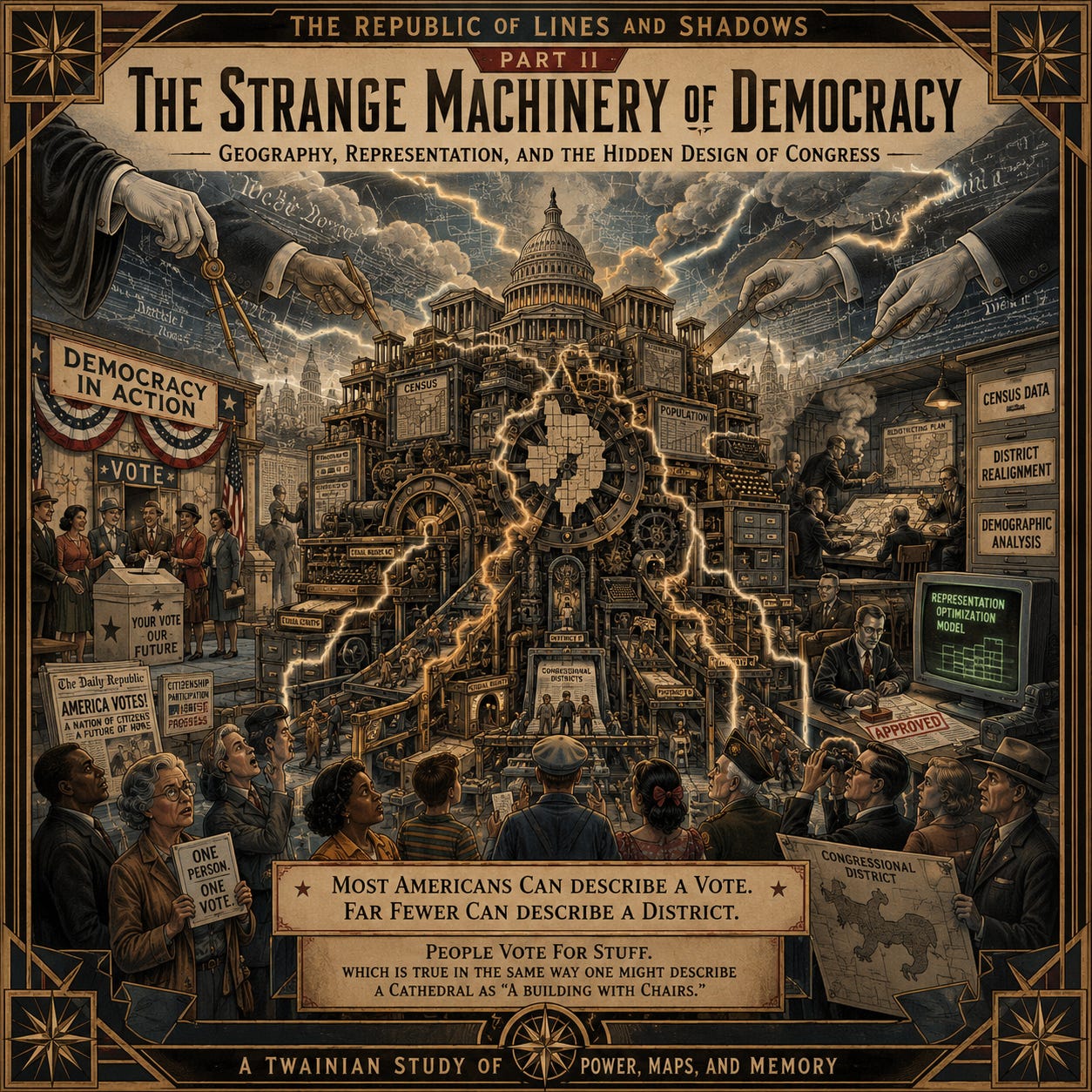
Most Americans can describe a vote.
Far fewer can describe a district.
Which is remarkable considering districts quietly determine enormous portions of American political life while receiving less public attention than celebrity divorces and who shot J.R.
Ask the average citizen how Congress works and they will generally give directions toward Washington the same way somebody’s uncle explains how to get to a farm he hasn’t visited since the Carter administration.
“You head north past the old Kmart that’s a dialysis clinic now, turn left where the big oak tree used to be before the lightning strike, keep driving until the road starts feeling expensive, then if you hit democracy you’ve gone too far.”
At this point nobody actually knows where the hell the farm is.
They’re just driving confidently through fog while pointing at landmarks that no longer exist.
“People vote for stuff,” they’ll say.
Which, technically speaking, is true in the same way one might describe a cathedral as “a building with chairs.”
Districts are one of those political inventions Americans inherit without questioning, like daylight savings time or the existence of an entire grocery aisle containing forty-seven different cereals, all basically dessert in a bowl, wearing a variety of cartoon mascots.”
They simply appear to exist.
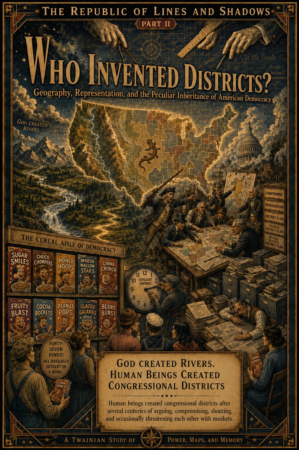
But districts are not natural features of the landscape.
God created rivers.
Human beings created congressional districts after several centuries of arguing, compromising, shouting, and occasionally threatening each other with muskets.
The United States developed a system called geographic representation.
Instead of every citizen voting collectively for every representative nationwide, the country is divided into districts.
Each district elects one representative to Congress.
The original idea was not irrational.
America is enormous.
The concerns of:
a dairy farmer in Wisconsin,
a fisherman in Maine,
a tech worker in San Francisco,
and a rancher in Texas
might differ rather dramatically.
The founders believed local communities deserved local representation.
In theory, districts help ensure that different regions and ways of life have a voice in government.
Which sounds lovely when written in civics textbooks beside paintings of powdered wigs and eagles staring nobly into middle distance.
🏛️
But hidden inside this elegant democratic idea sits a tiny explosive device.
Because once districts exist, someone has to decide where the lines go.
And small changes in those lines can dramatically change political outcomes.
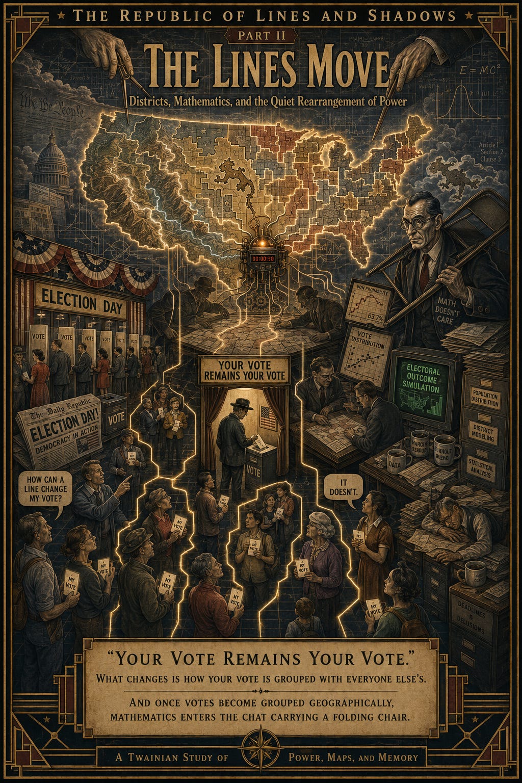
This is the point where many Americans understandably become confused.
“How can a line change my vote?” they ask.
The answer is:
it doesn’t.
Your vote remains your vote.
Nobody sneaks into the polling booth and changes your ballot from Democrat to Republican while humming the national anthem.
What changes is:
how your vote is grouped with everyone else’s.
And once votes become grouped geographically, mathematics enters the chat carrying a folding chair.
📊
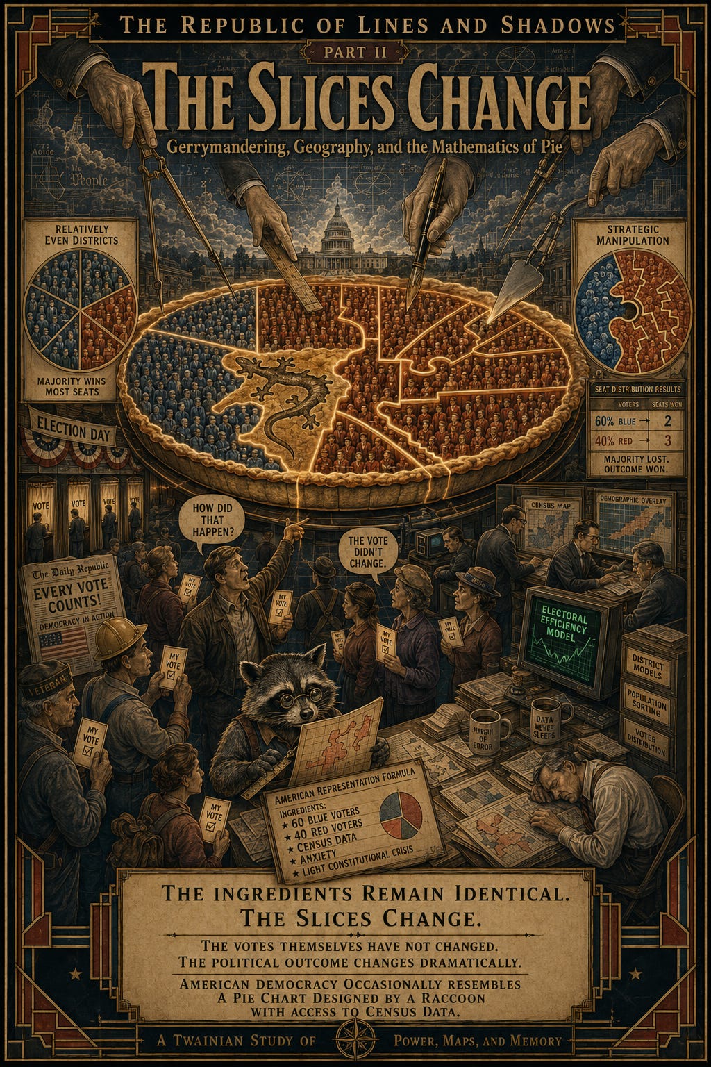
Imagine a city with 60 blue voters and 40 red voters. The state only allows five districts. If the lines are drawn evenly, blue will likely win most of them.
But if someone draws those lines carefully, the blue voters can be packed into two districts, while red voters win the other three by smaller margins.
The total votes? The same. The ballots? The same. But the outcome? Completely different. It’s like slicing the same pie in a new way.
Sometimes, American democracy feels like a pie chart rearranged by a raccoon with census data—and every slice is a district.
But remember, each state has a set number of districts. How they’re drawn is what changes the game.🥧
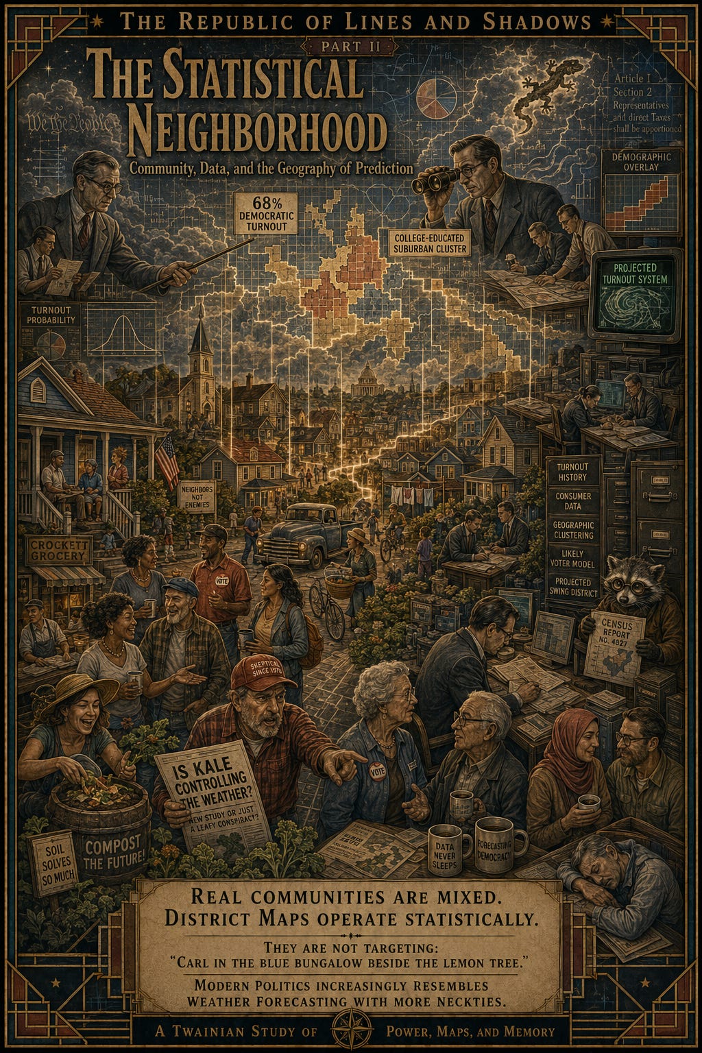
This process feels strange because most people experience community at the neighborhood level.
You look around a place like Crockett and see:
Democrats,
Republicans,
liberals,
conservatives,
older residents,
younger residents,
multiple races,
different incomes,
people who compost enthusiastically,
and people who still believe climate change is a conspiracy invented by kale.
Real communities are mixed.
But district maps do not operate house by house.
They operate statistically.
Political strategists analyze:
voting patterns,
census tracts,
demographics,
turnout history,
consumer data,
and geographic clustering.
They are not targeting:
“Carl in the blue bungalow beside the lemon tree.”
They are targeting:
“This region votes 68% Democratic and has high turnout among college-educated suburban voters.”
Modern politics increasingly resembles weather forecasting with more neckties.
🌦️
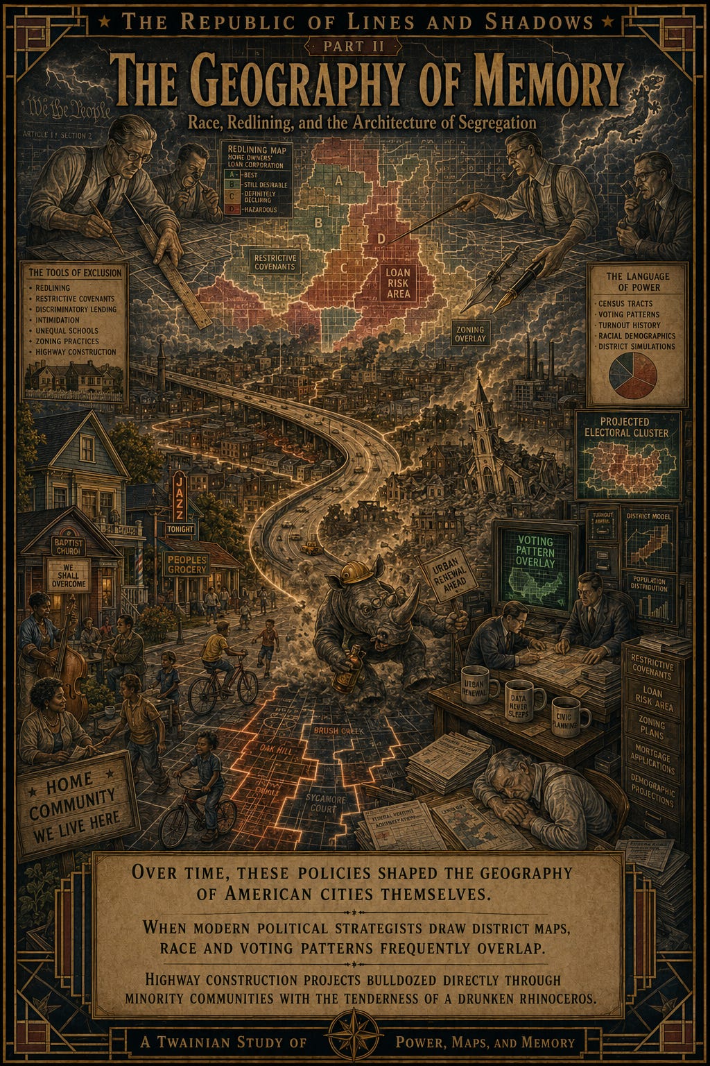
And here is where America’s racial history enters the map.
For generations, Black Americans were often confined, formally or informally, to particular neighborhoods through:
redlining,
restrictive covenants,
discriminatory lending,
intimidation,
unequal schools,
zoning practices,
and highway construction projects that bulldozed directly through minority communities with the tenderness of a drunken rhinoceros.
Over time, these policies shaped the geography of American cities themselves.
So when modern political strategists draw district maps, race and voting patterns frequently overlap.
Not perfectly.
Not everywhere.
But enough to matter enormously.
This means district lines can weaken the political influence of racial groups without anybody ever standing at a podium announcing:
“Greetings citizens, we are now suppressing votes.”
Modern systems prefer plausible deniability.
The old signs disappeared.
The spreadsheets arrived.
💻
And once citizens understand this machinery, another question naturally emerges:
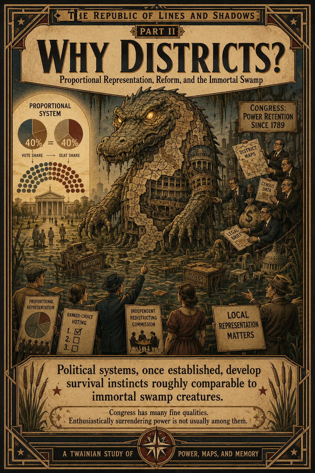
Why use districts at all?
Why not simply allow entire states to vote collectively and distribute representation proportionally?
Many democracies actually do exactly that.
Under proportional systems:
if a party wins 40% of the vote,
it receives roughly 40% of the seats.
This dramatically reduces the power of district manipulation.
Other proposed reforms include:
independent redistricting commissions,
ranked-choice voting,
and multi-member districts where several representatives serve larger regions together.
So why does the United States keep the current system?
Partly because districts are deeply embedded in American political tradition.
Partly because local representation genuinely matters in a country this large.
And partly because political systems, once established, develop survival instincts roughly comparable to immortal swamp creatures.
People benefiting from the current arrangement rarely volunteer to dismantle it.
Congress has many fine qualities.
Enthusiastically surrendering power is not usually among them.
⚖️
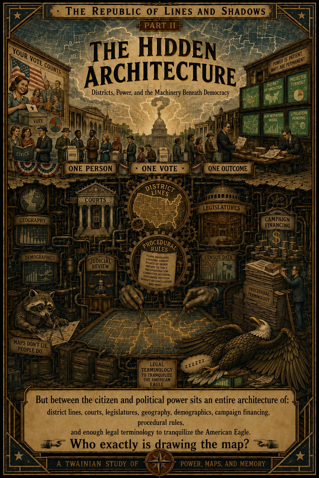
The deeper one looks into American democracy, the stranger the machinery becomes.
Most citizens are taught a comforting civic fairy tale:
one person,
one vote,
one outcome.
But between the citizen and political power sits an entire architecture of:
district lines,
courts,
legislatures,
geography,
demographics,
campaign financing,
procedural rules,
and enough legal terminology to tranquilize the American Eagle.
The district map is one of the least visible yet most powerful parts of that architecture.
And once political actors learn to manipulate those maps strategically, democracy itself begins to bend in ways ordinary citizens may never fully see.
Which brings us to the next question:
Who exactly is drawing the map?